

Case study · Interface evaluation
AI Design Evaluation / Interactive Comparison
An evidence-aware review of geospatial interface hierarchy, marker aggregation, information density, and spatial-query continuity—shown as inspectable synthetic flaw-and-correction pairs.
The design question
How can an AI-generated geospatial interface be corrected without confusing polish with evidence?
The review separates observable interface issues from proposed corrections and future validation. Each pair uses simulated content so the design reasoning can be inspected without implying a production system or measured result.
- Evaluate
- Identify competition, overlap, weak hierarchy, and broken continuity in the displayed interface.
- Correct
- Propose explicit visual and interaction changes tied to the observed problem.
- Specify
- Connect corrections to acceptance conditions for keyboard use, focus, labels, comparison, and state.
- Validate later
- Propose task scenarios and measures without inventing outcomes that were not collected.
Visual comparison set
Open either image to inspect the full-resolution concept.
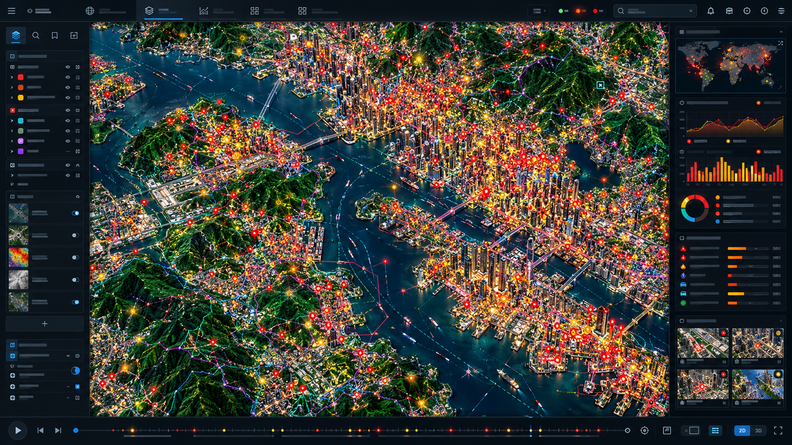
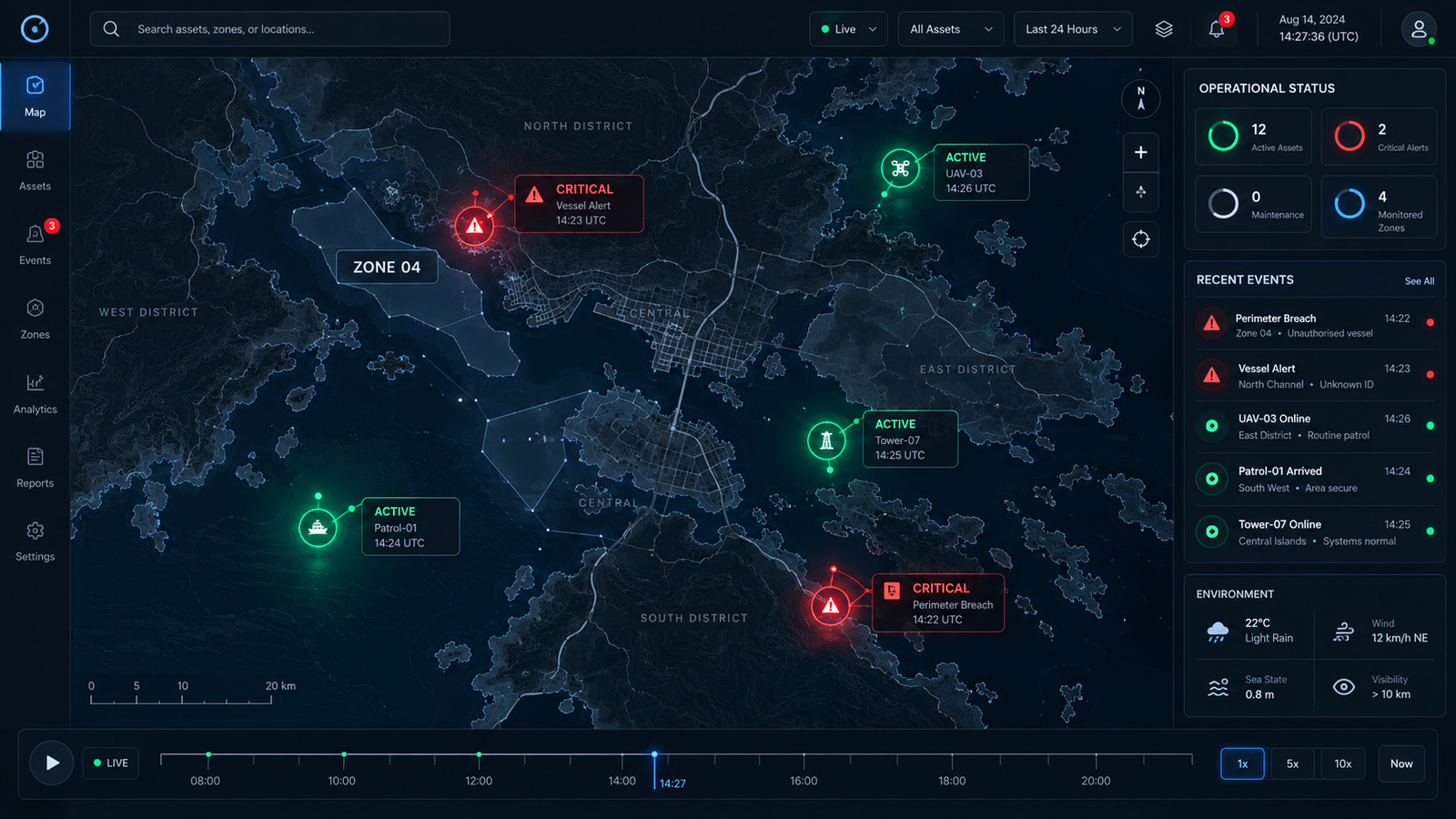
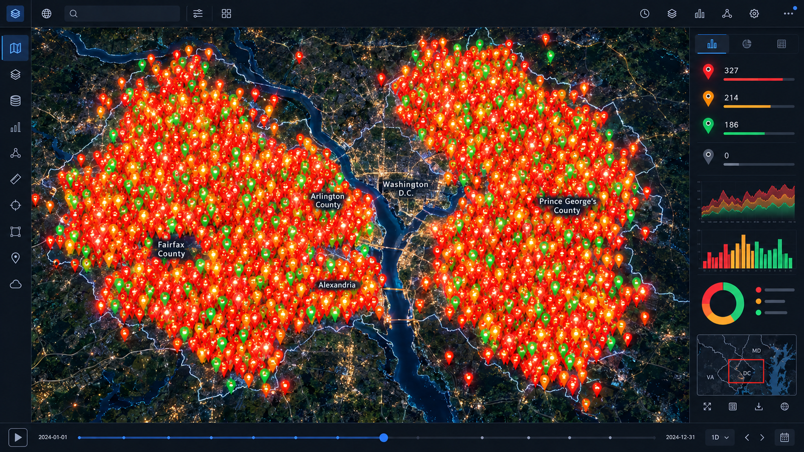
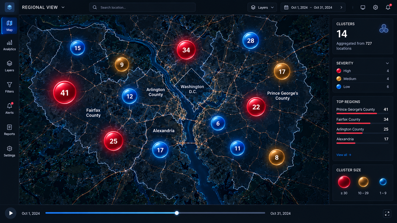
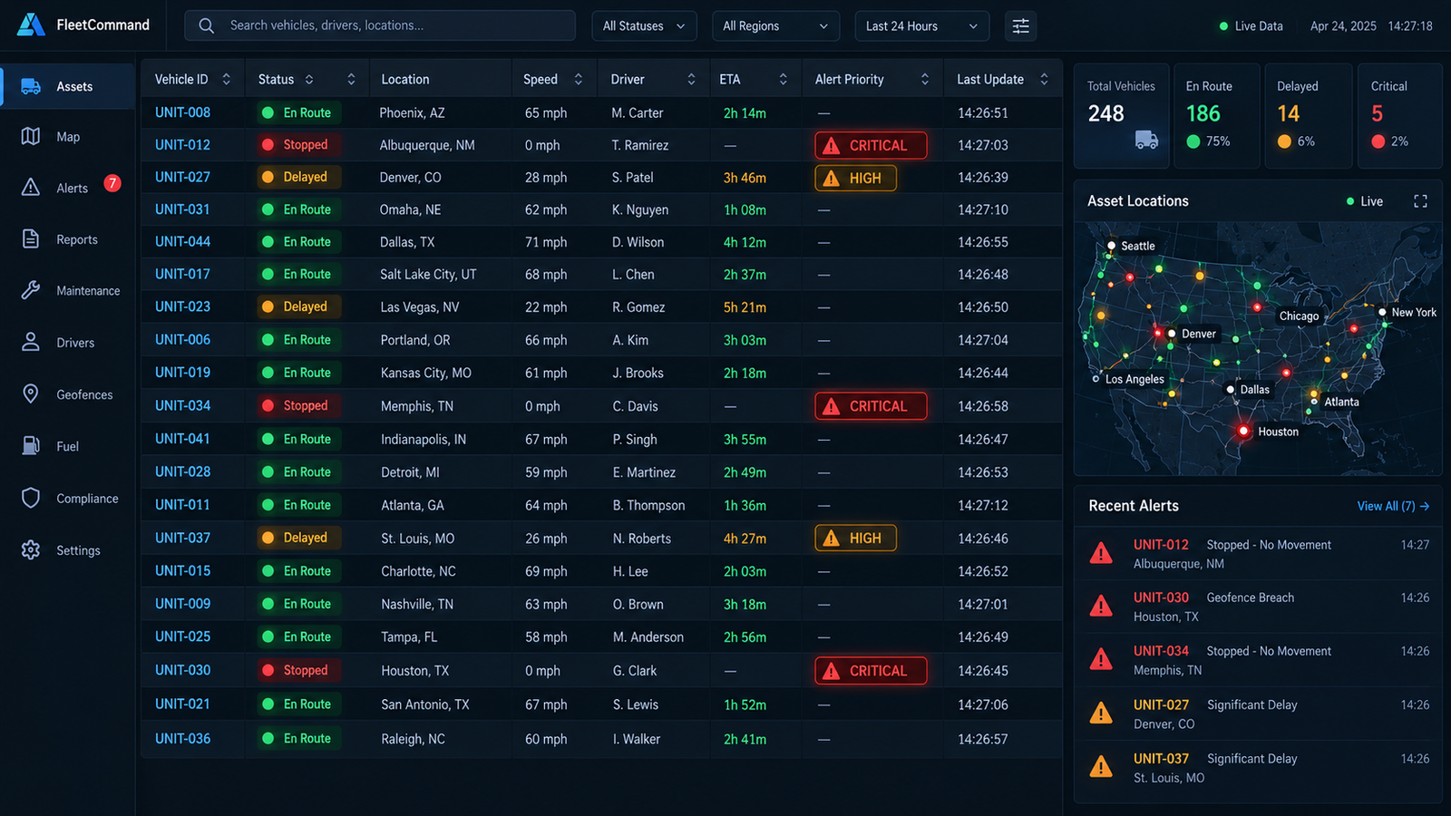
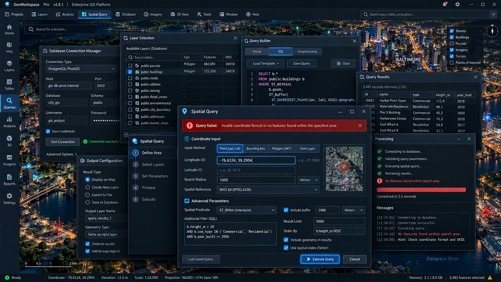
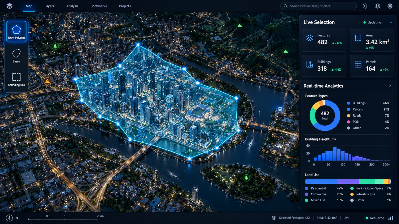
Each comparison shows a synthetic flaw and a corresponding design correction. The images are generated concept evidence—not captures of a deployed client system.

Evidence boundary
Research and redesign reasoning—not invented outcomes.
The report supports an interface analysis, generated concept comparisons, acceptance criteria, and a proposed validation plan. It does not supply a named client, production integration, experiment log, revenue result, measured satisfaction, or full accessibility-conformance evidence.